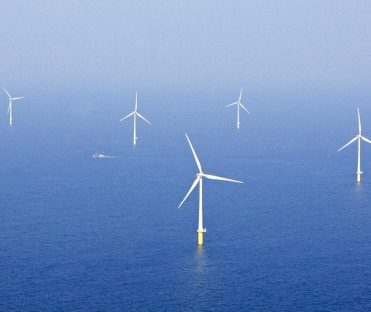
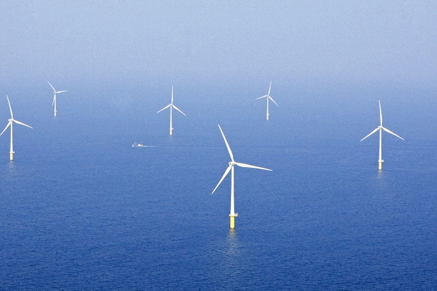
Gemini wind park
DOWNLOAD PROJECT SHEET
Advise on best route scenarios, QGIS mapping, impact of dredging scenarios, trench sedimentation modelling, high quality time series and extreme statistics

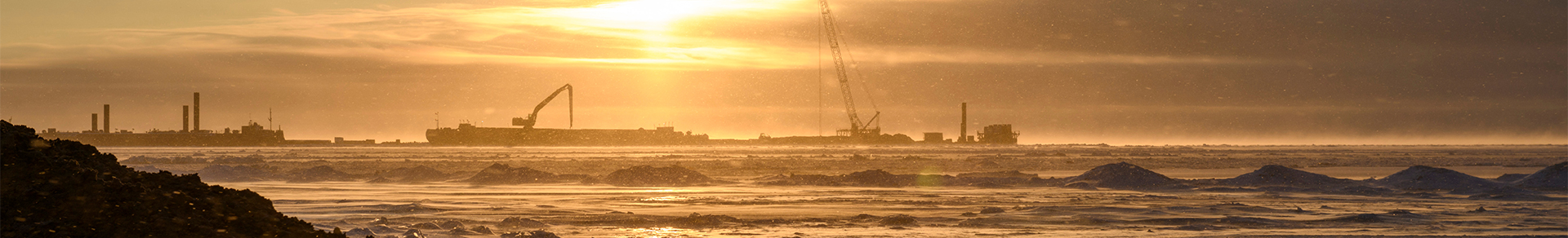
Typhoon Offshore en Van Oord

Eems Estuary, the Netherlands

2011 – 2012
Export cable route advise & installation impact
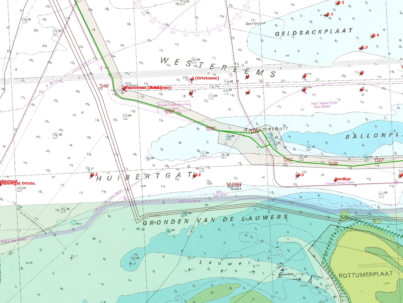
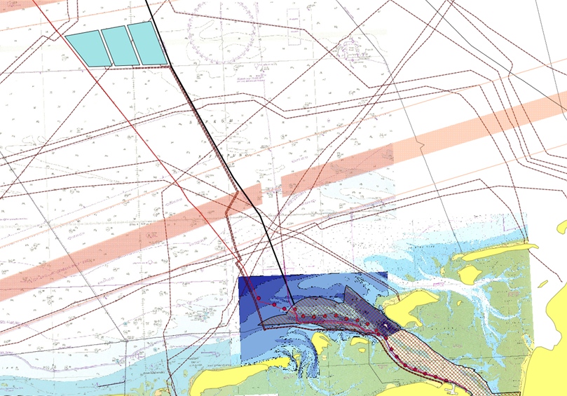
To connect Gemini Wind Park to the shore power grid two AC export cables will be laid through the Eems estuary towards Eems Harbour avoiding shipping lanes and sensitive nature areas. Installation strategy behind cable laying is to minimise maintenance during cable lifetime due to cable exposure.
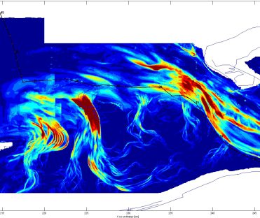
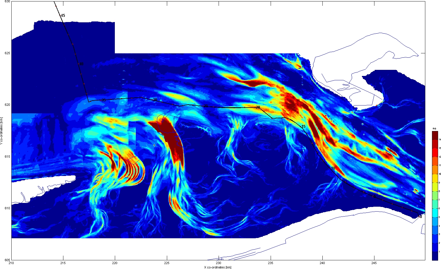
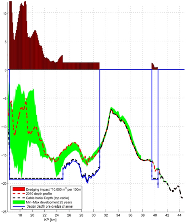
Cable exposure is the result of erosion of sand layers covering and protecting the cable. This erosion is caused by natural sand movements, especially pronounced in the transition zone between Eems estuary and Eems Dollard. Risk of cable exposure increases in case design burial depth will not be reached during installation.
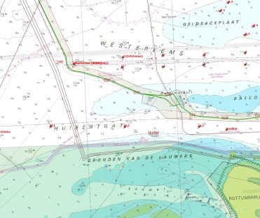
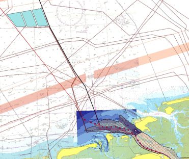
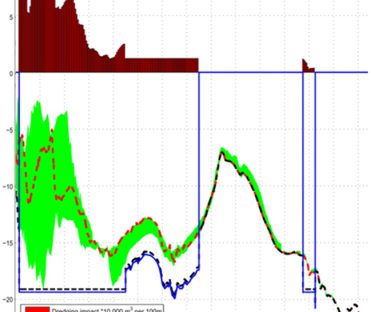
To minimise this installation risk at highly morphodynamic areas (15 km stretch), a pre-dredge channel is dredged in which the cable will be laid directly to specified burial depth which has been determined by historical analysis of bathymetry data of past 25 years.
Svašek Hydraulics has advised on tidal conditions and sea state and in relation to morphodynamics and historical analysis of bathymetry in the Eems Estuary. In cooperation with the client many different possible cable routes have been assessed by using QGIS mapping, calculating dredge quantities, studying and quantifying natural sedimentation and erosion in the direct vicinity of the cable route and studying sedimentation and erosion patterns close to the pre dredge channel and possible dump areas. Natural sand movements are compared to dredge quantities to estimate environmental impact.
Bastiaan Les
Project leader

MORE INFORMATION ABOUT SVAŠEK OR OUR EXPERTISES?
Please contact us or make an appointment.
CONTACT US